Tools
Within the ReCreate project we have developed three digital tools that support the reuse of precast concrete elements – from mapping Europe’s existing precast building stock to assessing concrete strength and the environmental and cost impact of reuse.
01Interactive map
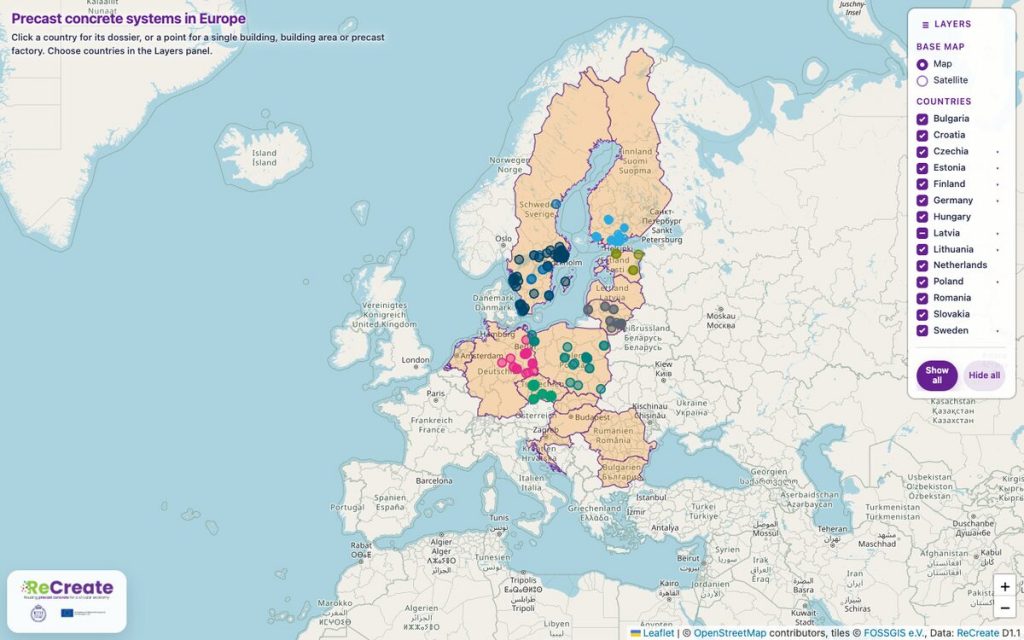
Digital map of precast concrete systems
The ReCreate Digital Map of Precast Concrete Systems provides an interactive overview of the historical development and geographical distribution of precast concrete systems across selected European countries. Developed within the ReCreate project, the map brings together information collected through extensive archival research on precast concrete buildings, structural systems and production facilities.
Users can explore country-level information and identified locations of precast concrete buildings and factories. By selecting a country or individual map point, the map provides available information such as the precast system, year of construction, factory of origin, structural type, building type and location. Individual data layers can be switched on and off to support exploration of the mapped information.
The map is intended to support a better understanding of the existing European precast concrete building stock and contribute to identifying the potential for the future reuse of precast concrete elements within a circular construction sector.
02Strength assessment
Compression Strength Assessment Tools using NDTs
The ReCreate Concrete Compressive Strength Prediction Tool was developed to support the assessment of existing concrete structures and precast concrete elements considered for reuse.
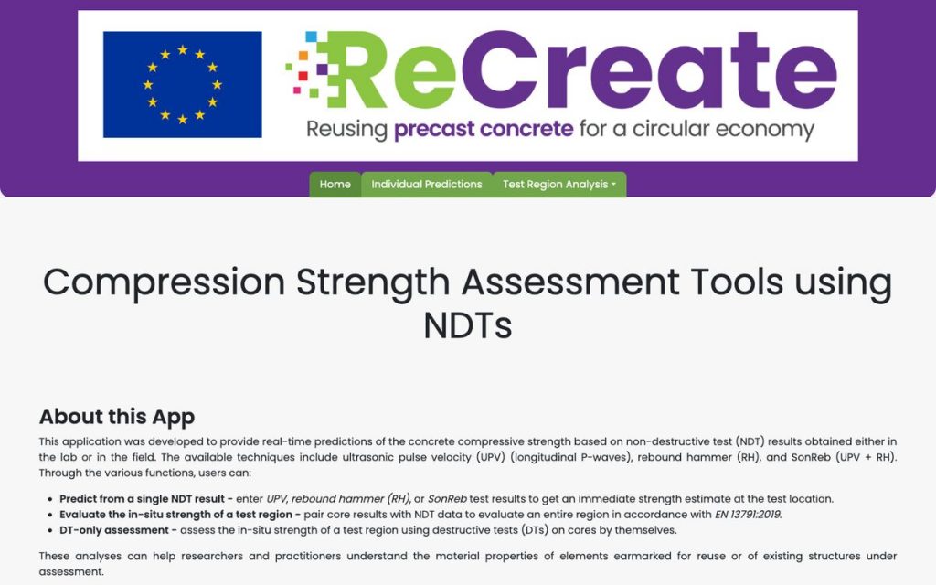
The tool provides real-time estimates of concrete compressive strength based on non-destructive testing (NDT) results obtained either in the laboratory or in the field. It supports three testing approaches: ultrasonic pulse velocity (UPV), rebound hammer (RH) and SonReb, which combines UPV and rebound hammer measurements.
Users can apply the tool to obtain an immediate strength estimate from a single NDT result, assess the in-situ strength of a larger test region by combining core and NDT data, or perform an assessment based solely on destructive tests carried out on concrete cores.
By helping users better understand the material properties of existing concrete, the tool can support technical evaluation, further testing strategies and decisions related to the potential reuse of precast concrete elements.
03Database & calculator
LCA & LCC Tool for Precast Concrete Reuse
The ReCreate LCA & LCC Tool was developed to support the assessment of the environmental and monetary implications of reusing precast concrete elements.
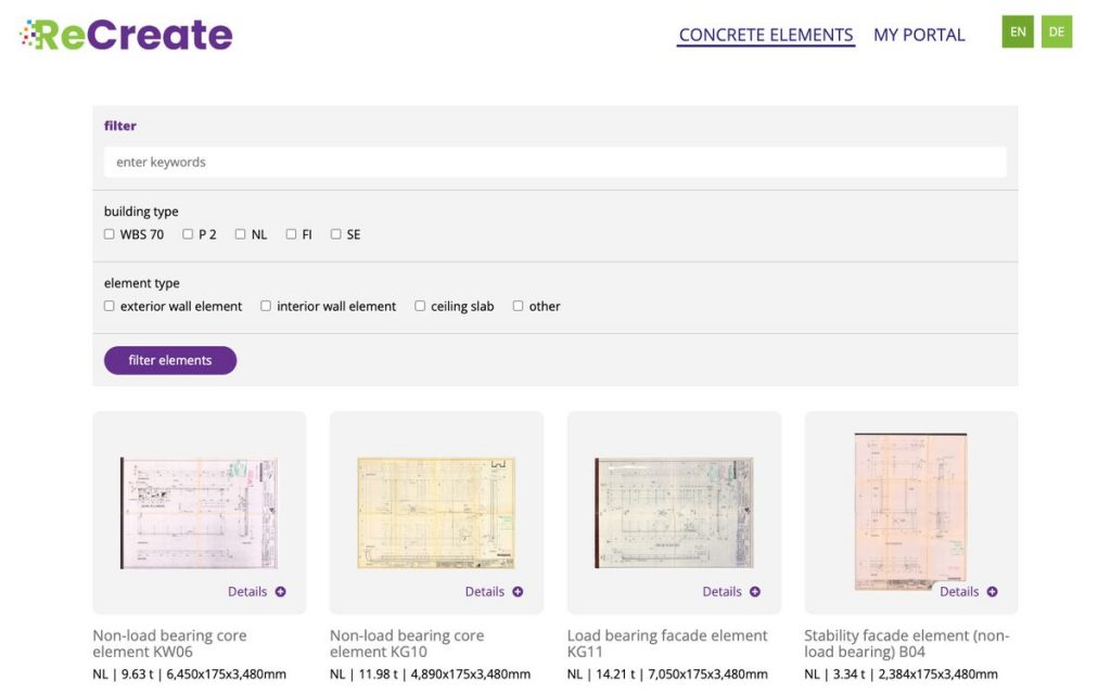
The tool combines a catalogue and database of precast concrete elements with project-specific calculation functions. Users can explore different element types, review available information on individual elements and compile selected elements into their own projects.
For project-specific assessments, the tool calculates the transport distance, associated CO₂ emissions and transport costs of moving reclaimed precast concrete elements from their storage or donor-building location to a selected destination. These results can be compared with the transport of equivalent newly manufactured elements from an active producer.
The database can also represent elements that are still installed in a donor building or elements that have already been salvaged and stored at a specific location, helping to connect available material resources with future construction projects.
By linking information on available precast concrete elements with transport-related environmental and cost calculations, the tool supports more informed decisions on element reuse, circular construction and resource-efficient project planning.